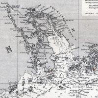
Canton River and Approaches Chart
Dublin Core
Title
Canton River and Approaches Chart
Description
Detail of East India Archipelago, Western Route to China, Chart No. 5, showing Macao, the Canton River, and Hong Kong. Whampoa Reach was as high as trading vessels were allowed to sail on the Canton River.
Creator
James Imray & Son
Source
https://www.penobscotmarinemuseum.org/pbho-1/collection/canton-river-and-approaches-chart
Publisher
James Imray & Son
Date
1876
Format
jpeg
Language
English
Type
map
Files
Citation
James Imray & Son
, “Canton River and Approaches Chart,” The Chinese At America's Gate, accessed November 23, 2024, https://drlixiao.net/ChineseinAmerica/items/show/37.

